The Waterlands of the
Swans
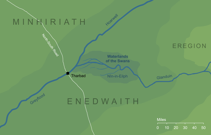
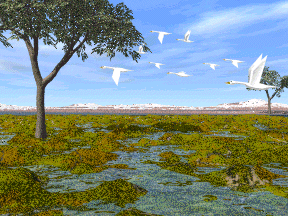
The river Glanduin rose in the Misty Mountains near Moria, and flowed westward to meet the Mitheithel and form the great Gwathló that flowed to the Sea. Where they met, the Glanduin's waters ran into an immense network of marshes and fens dotted with islets, apparently dozens of miles in length. There were no habitations of Men in this watery area, but it was filled with water-fowl, and especially swans. From these it took its name of Swanfleet, the Waterlands of the Swans, or Nîn-in-Eilph in Elvish.
Indexes:
About this entry:
- Updated 4 August 2025
- This entry is complete
For acknowledgements and references, see the Disclaimer & Bibliography page.
Original content © copyright Mark Fisher 2011, 2025. All rights reserved. For conditions of reuse, see the Site FAQ.
Website services kindly sponsored by myDISCprofile, the free online personality test.
How do your personal strengths fit in with career matching? How can you identify them? Try a free personality test from myDISCprofile.